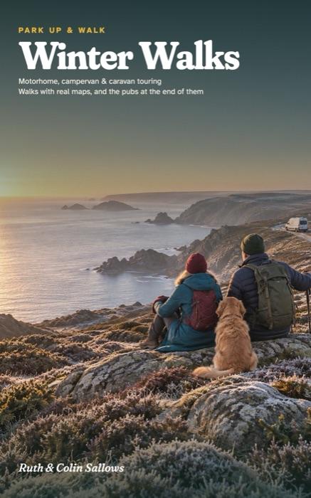
Park Up & Walk · Book 11
Winter Walks
A Motorhome, Campervan and Caravan Touring Guide to Britain in Winter, with Walks, Real Maps and the Pubs at the End of Them
Ten regions of Britain in winter, from Cornwall to the far north of Scotland, each with campsites that say on their own websites that they stay open, walks that suit a short, cold day, and a pub near the end of them, many with a fire.
- 36 winter walks with real maps, height profiles and free GPX routes
- Campsites checked for winter opening, members' sites included with the club's price
- A winter note on every walk: when to set off, what's shut, the dog rules
- Winter in a van and on the road, from the Highway Code and the two big clubs
- A page at the front for your Christmas message
Paperback on AmazonHardback on AmazonKindle on Amazon
Already have a copy? Check the updates page before you go.
The regions
- Cornwall
- Dorset & the New Forest
- The Cotswolds
- The Heart of England
- Wales
- The Peak District
- Norfolk
- The Lake District
- Northumberland
- The North Coast 500
The walks, as routes for your phone
- 1A Ayr to Clodgy Point 1.8 km · Moderate
- 1B Carbis Bay to St Ives 1.8 km · Easy
- 1C Lizard Point 1.6 km · Easy
- 1D Poltesco mills 1.0 km · Moderate
- 2A Tall Trees Trail 2.3 km · Accessible
- 2B Bolderwood, the Radnor Trail 3.0 km · Not graded
- 2C Langdon Hill 2.1 km · Easy
- 2D The Cogden circular 3.6 km · Easy
- 3A Moreton and Batsford 7.0 km · Easy
- 3B Stow and Maugersbury 6.0 km · Easy
- 3C Woodchester Park 5.7 km · Moderate
- 3D Bibury and the River Coln 6.2 km · Easy
- 4A The Church Path, Salcey 2.9 km · Easy
- 4B The Woodpecker trail, Salcey 9.8 km · Moderate
- 4C The Baddesley Clinton estate 3.9 km · Easy
- 4D The canal walk 7.9 km · Easy
- 5A Lydstep Cliffs and Caverns 1.4 km · Easy
- 5B Bosherston Lily Ponds 2.6 km · Moderate
- 5C Tenby and Waterwynch 3.1 km · Easy to moderate
- 6A Mam Tor circular 4.5 km · Moderate
- 6B Edale circular 5.5 km · Moderate
- 6C Padley Gorge and Burbage 3.4 km · Easy
- 6D Froggatt and Curbar Edges 9.7 km · Moderate
- 7A Brancaster Staithe wildlife walk 7.2 km · Moderate
- 7B Burnham Overy Staithe walk 6.2 km · Easy
- 7C Blakeney Freshes 3.6 km · Easy
- 7D Blickling lake walk 2.7 km · Easy
- 8A Tarn Hows circular 3.0 km · Easy
- 8B Moss Eccles Tarn 4.7 km · Easy
- 8C Aira Force and Gowbarrow 6.8 km · Moderate
- 8D Patterdale and Glenamara Park 2.8 km · Easy
- 9A Thirlwall Castle circular 3.0 km · Easy
- 9B Steel Rigg and Crag Lough 5.6 km · Moderate
- 9C Lindisfarne Castle walk 1.4 km · Easy
- 9D Lindisfarne Nature Trail 4.8 km · Moderate
- 10A Faraid Head 3.8 km · Easy to moderate
Ruth spent 30 years organising school trips. Colin is a mechanic and engineer who has never owned fewer than two maps of anywhere. They bought their first campervan at 50.