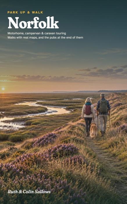
Norfolk
A Motorhome, Campervan and Caravan Touring Guide to the Coast, the Broads and the Brecks, with Walks, Real Maps and the Pubs at the End of Them
Six touring bases across Norfolk, on the north coast, by the Broads and in Thetford Forest, each one a place to stay for a few nights without moving the van. For every base you get somewhere to park up and the reason to choose it, the walks, the pub worth stopping at, a wet-day plan and a plan for the days.
- 25 walks with the official distances, from Brancaster Staithe, Holkham and Blakeney Point to Sheringham Park, Blickling, Horsey and the Fir Trail at High Lodge
- A real map and a free GPX route for every walk, with a QR code on the walk page to find it
- A driving map for every base: narrow bridges, low barriers and the car parks the council lists for motorhomes
- Campsites for motorhomes, campervans and caravans, checked and dated, with club sites and caravan bans flagged
- Seal and bird rules for dogs: when Blakeney Point and Horsey beach close, and where the lead goes on
Paperback on AmazonHardback on AmazonKindle on Amazon
Already have a copy? Check the updates page before you go.
The bases
- Brancaster, Burnham and Holkham
- Blakeney, Cley and Stiffkey
- Sheringham, Cromer and Felbrigg
- Blickling and Aylsham
- Horsey, Waxham and Sea Palling
- Thetford Forest and the Brecks
The walks, as routes for your phone
- 1A Brancaster Staithe wildlife walk 7.2 km · Moderate
- 1B Burnham Overy Staithe walk 6.2 km · Easy
- 1C Holkham circular 10.8 km · Ungraded
- 1D Brancaster circular 6.6 km · Ungraded
- 2A Blakeney Freshes 3.6 km · Easy
- 2B Blakeney to Stiffkey 7.1 km · Easy
- 2C Morston Quay to Cockthorpe 9.4 km · Moderate
- 2D Blakeney Point 11.3 km · Moderate
- 3A Repton's walk, Sheringham 4.0 km · Moderate
- 3B West Runton circular 4.3 km · Moderate
- 3C Felbrigg church and ice house 4.3 km · Easy
- 3D Sheringham woods and coast 11.3 km · Moderate
- 4A Blickling lake walk 2.7 km · Easy
- 4B Blickling mausoleum walk 3.5 km · Easy
- 4C Blickling estate walk 7.5 km · Moderate
- 4D Calthorpe and the Great Wood 11.7 km · Moderate
- 5A Horsey beach and village 5.7 km · Easy
- 5B Horsey Windpump and estate 5.5 km · Easy
- 5C Horsey Windpump to the beach 4.8 km · Moderate
- 5D Sea Palling circular 9.6 km · Ungraded
- 5E Happisburgh circular 12.1 km · Ungraded
- 6A Fir Trail, High Lodge 11.0 km · Moderate
- 6B Heritage Trail, High Lodge 3.9 km · Easy
- 6C Lynford Stag wellbeing trail 5.8 km · Ungraded
- 6D The Well Walk, Santon 8.2 km · Easy
Ruth spent 30 years organising school trips. Colin is a mechanic and engineer who has never owned fewer than two maps of anywhere. They bought their first campervan at 50 and wrote the guide they wished they'd had in the glovebox.