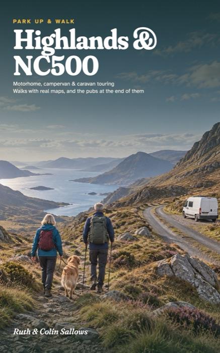
Highlands & NC500
A Motorhome, Campervan and Caravan Touring Guide to the Scottish Highlands and the North Coast 500, with Walks, Real Maps and the Pubs at the End of Them
Six touring bases round the whole NC500 loop, each one a place to stay a few nights without moving the van. For every base you get somewhere to park up and the reason to choose it, the walks, the pub worth stopping at, a wet-day plan and a plan for the days.
- 23 walks with the official distances, from NatureScot's Beinn Eighe and Knockan Crag trails to a Munro up Beinn Alligin and stages of the North Coast and John O'Groats Trails
- A driving page for every base: single-track roads, passing places, and where a motorhome can park
- Campsites for motorhomes, campervans and caravans, checked and dated, with club members-only sites flagged and their costs
- Dog rules on every walk and every site, including the touring site that doesn't take dogs at all
- A free GPX route for your phone for every walk
Paperback on AmazonHardback on AmazonKindle on Amazon
Already have a copy? Check the updates page before you go.
The bases
- Torridon & Kinlochewe
- Gairloch & Poolewe
- Assynt & Lochinver
- Durness & Balnakeil
- Caithness: Dunnet Head & John O'Groats
- Black Isle & Strathpeffer
The walks, as routes for your phone
- 1A Beinn Eighe Woodland Trail 1.6 km · Moderate
- 1B Beinn Eighe Mountain Trail 6.3 km · Strenuous
- 1C Coire Mhic Nobuil, Torridon 2.0 km · Easy to moderate
- 1D Beinn Alligin 10.6 km · Difficult
- 2A Inverewe Garden 1.3 km · Easy
- 2B Flowerdale Falls 4.3 km · Moderate
- 2C An Ard 1.3 km · Easy
- 2D Glebe Park 0.5 km · Easy
- 2E The Low Road 0.2 km · Easy
- 2F Badachro to Erradale 4.6 km · Moderate
- 3A Knockan Crag: Thrust Trail 0.3 km · Easy
- 3B Knockan Crag: Crag Top 1.9 km · Moderate
- 3C Knockan Crag: Quarry Trail 0.3 km · Easy
- 3D Stac Pollaidh 3.7 km · Hard, short and steep
- 4A Durness: the Aodann walk 3.2 km · Easy to moderate
- 4B Faraid Head 3.8 km · Easy to moderate
- 5A Dunnet Head coast path 14.5 km · Moderate
- 5B Wick to Keiss 18.5 km · Moderate to hard
- 5C Keiss to John O'Groats 22.2 km · Moderate to hard
- 6A Rogie Falls: Salmon Trail 0.8 km · Moderate
- 6B Rogie Falls: Riverside Trail 1.4 km · Strenuous
- 6C Contin: View Rock Trail 4.2 km · Strenuous
- 6D Chanonry Point 0.3 km · Easy, level
Ruth spent 30 years organising school trips. Colin is a mechanic and engineer who has never owned fewer than two maps of anywhere. They bought their first campervan at 50 and wrote the guide they wished they'd had in the glovebox.