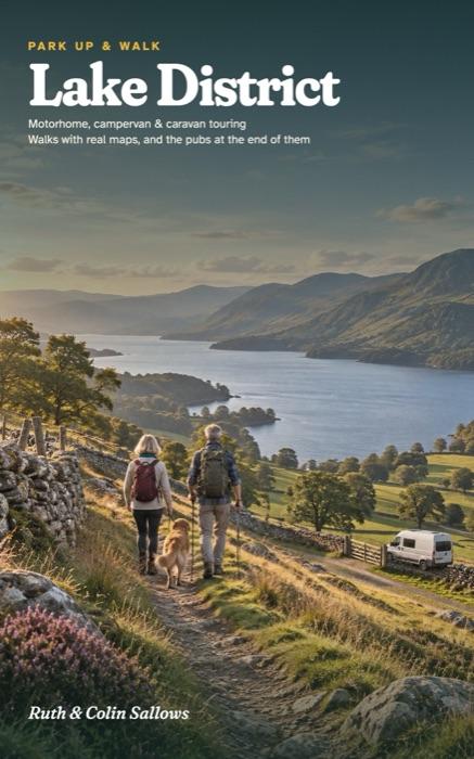
Lake District
A Motorhome, Campervan and Caravan Touring Guide to the Lakes, Fells and Valleys of Cumbria, with Walks, Real Maps and the Pubs at the End of Them
Six touring bases across the Lake District, from Coniston and Windermere to Langdale, Keswick, Ullswater and Kendal, each one a place to stay for a few nights without moving the van. For every base you get somewhere to park up and the reason to choose it, the walks, the pub worth stopping at, a wet-day plan and a plan for the days.
- 30 walks with the official distances, from Tarn Hows, Cathedral Quarry and Moss Eccles Tarn to Stickle Tarn, Aira Force, Walla Crag and Scout Scar
- A real map and a free GPX route for every walk, with a QR code on the walk page to find it
- A driving map for every base, with the National Park's warnings on Wrynose, Hardknott, Honister and Red Bank Road
- Campsites for motorhomes, campervans and caravans, checked and dated, with van length limits, club sites and caravan bans flagged
- Dog rules walk by walk, and the car parks with no room for a van
Paperback on AmazonHardback on AmazonKindle on Amazon
Already have a copy? Check the updates page before you go.
The bases
- Coniston and Tarn Hows
- Windermere's west shore and Wray
- Grasmere and the Langdales
- Ullswater
- Keswick and Derwent Water
- Kendal and Sizergh
The walks, as routes for your phone
- 1A Tarn Hows circular 3.0 km · Easy
- 1B Tom Gill to Tarn Hows 2.7 km · Challenging
- 1C To Cathedral Quarry 2.7 km · Easy
- 1D Yewdale Valley 7.4 km · Moderate
- 1E Monk Coniston and Tarn Hows 8.2 km · Moderate
- 2A Windermere west shore 7.0 km · Moderate
- 2B Wray to Blelham Tarn 5.7 km · Moderate
- 2C Moss Eccles Tarn 4.7 km · Easy
- 2D Ash Landing and Claife Heights 13.1 km · Challenging
- 2E Wray to Latterbarrow 7.3 km · Moderate
- 3A Alcock Tarn 5.5 km · Moderate
- 3B Blea Tarn 2.8 km · Easy
- 3C Stickle Tarn 3.6 km · Challenging
- 3D Mickleden Valley 6.0 km · Easy
- 3E Grasmere village to Allan Bank 2.0 km · Easy
- 4A Aira Force and Gowbarrow 6.8 km · Moderate
- 4B Glencoyne Farm trail 3.4 km · Moderate
- 4C Hartsop to Hayeswater Gill 3.3 km · Moderate
- 4D Patterdale and Glenamara Park 2.8 km · Easy
- 4E Aira Force to Glencoyne 2.1 km · Easy
- 5A Friar's Crag after dark 1.4 km · Easy
- 5B Walla Crag and Ashness Bridge 7.2 km · Moderate
- 5C Castle Crag from Seatoller 7.7 km · Moderate
- 5D Brandelhow and Octavia Hill 3.6 km · Easy
- 5E Cockshot Wood and the lake 1.9 km · Easy
- 6A Sizergh Fell 3.6 km · Moderate
- 6B Park End Moss wetland 5.2 km · Moderate
- 6C Scout Scar 1.8 km · Challenging
- 6D Kendal to Sizergh 8.9 km · Moderate
- 6E Holeslack access trail 1.9 km · Easy
Ruth spent 30 years organising school trips. Colin is a mechanic and engineer who has never owned fewer than two maps of anywhere. They bought their first campervan at 50 and wrote the guide they wished they'd had in the glovebox.