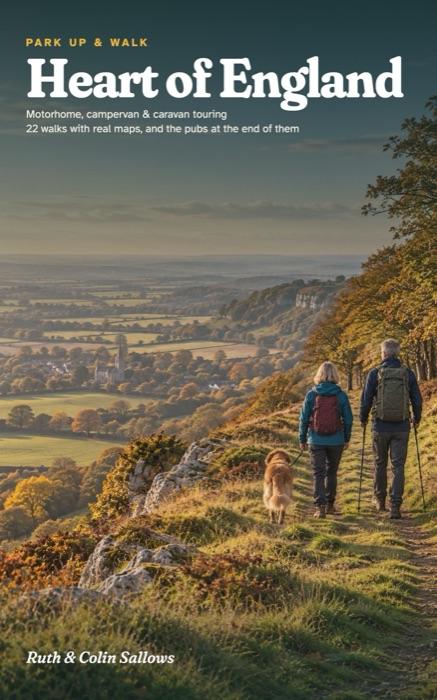
Heart of England
A Motorhome, Campervan and Caravan Touring Guide to Warwickshire, Leicestershire, Rutland and Northamptonshire, with 22 Walks and the Pubs at the End of Them
Six touring bases across Warwickshire, Leicestershire, Rutland and Northamptonshire, each one a place to stay for a few nights without moving the van. For every base you get somewhere to park up and the reason to choose it, the walks, the pub worth stopping at, a wet-day plan and a plan for the days.
- 22 walks with real maps and the official distances, from Edge Hill and the Stratford Greenway to Rutland Water, Beacon Hill and Salcey Forest
- A driving map for every base: low bridges, width limits and the car parks a motorhome can use
- Campsites for motorhomes, campervans and caravans, checked and dated, with club members-only sites flagged and their costs
- Dog rules on every walk, including the two that don't take dogs
- A free GPX route for your phone for every mapped walk, and a QR code on the walk page to find it
Paperback on AmazonHardback on AmazonKindle on Amazon
Already have a copy? Check the updates page before you go.
The bases
- Edge Hill & Upton
- Stratford & the Avon
- The Arden canals
- Rutland Water & Rockingham Forest
- Charnwood Forest
- Salcey Forest & Stoke Bruerne
The walks, as routes for your phone
- 1A Edge Hill views 4.2 km · Easy
- 1B The Upton ley line walk 10.1 km · Moderate
- 1C The Shenington Round 11.9 km · Moderate
- 1D Farnborough parkland 7.6 km · Easy
- 2A Shakespeare's Stratford 4.1 km · Easy
- 2B The Stratford Greenway 7.0 km · Easy
- 2C Charlecote parkland 2.6 km · Easy
- 2D Henley-in-Arden circular 8.2 km · Moderate
- 3A The Baddesley Clinton estate 3.9 km · Easy
- 3B The Heart of England Way 6.2 km · Easy
- 3C The canal walk 7.9 km · Easy
- 3D Baddesley Clinton to Packwood 9.5 km · Moderate
- 3E Kenilworth circular 12.8 km · Moderate
- 4A Normanton Church 3.5 km · Easy
- 4B The Hambleton peninsula 8.8 km · Moderate
- 4C Dales Wood trail, Fineshade 4.2 km · Moderate
- 4D Mill Wood trail, Fineshade 7.7 km · Challenging
- 5A The Outwoods 4.6 km · Moderate
- 5B Beacon Hill and Windmill Hill 10.2 km · Moderate
- 6A The Elephant walk, Salcey 1.8 km · Easy
- 6B The Church Path, Salcey 2.9 km · Easy
- 6C The Woodpecker trail, Salcey 9.8 km · Moderate
Ruth spent 30 years organising school trips. Colin is a mechanic and engineer who has never owned fewer than two maps of anywhere. They bought their first campervan at 50 and wrote the guide they wished they'd had in the glovebox.